Stronger Rain Conditions Forming While Heavy Rains Forecast Till November 25 Continues
Heavy Rains Forecast Till November 25 has placed Tamil Nadu on high alert as a new low-pressure system forming near Sri Lanka and the Comorin Sea continues to strengthen. The India Meteorological Department has reported that the system is drawing steady moisture from the sea, increasing the likelihood of persistent showers across several regions of the state. As the system develops further, widespread downpours are expected to continue until November 25, raising concern among officials and residents.

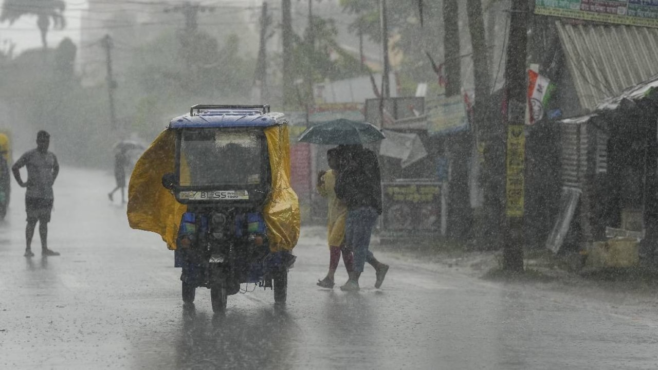
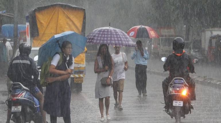
Southern Tamil Nadu is expected to face the highest impact during this period. Districts such as Thoothukudi, Tirunelveli, Kanyakumari, Tenkasi and Ramanathapuram may receive very heavy rain, and in some pockets rainfall could reach close to 200 mm. These southern districts, which often face seasonal challenges during monsoon periods, may experience waterlogging, flooding in low-lying areas and movement disruptions if the rain continues without breaks. Authorities have urged residents to stay alert and follow safety instructions.
Heavy Rains Forecast Till November 25
Central districts and the delta region are also expected to receive moderate to heavy showers as the system expands. These areas may benefit from the precipitation for agriculture and water storage, but persistent wet conditions may overwhelm drainage systems and cause disruptions. Meanwhile, north coastal Tamil Nadu and south coastal Andhra Pradesh may witness short but intense downpour episodes, particularly during late-night and early-morning hours. This pattern is common when a low-pressure system forms close to the coastline.
Weather experts have pointed out a clear difference in the timing of showers across the state. Coastal regions may experience heavier spells at night and in the early morning due to the influence of sea moisture. In contrast, interior districts may receive most of their precipitation during daytime hours, from morning to evening. Understanding this difference is important for residents, especially in areas prone to sudden flooding or slow drainage.
Changing Weather Patterns Observed as System Strengthens
Travel may also be disrupted if the heavy downpour causes waterlogging. Transport officials may issue advisories or reroute traffic if road conditions become unsafe. Schools in the most affected districts may adjust schedules or declare holidays depending on daily showers. Fishermen along the southern coast have been advised to avoid venturing into the sea as conditions are expected to worsen while the system strengthens.
Residents are urged to follow official updates from the Meteorological Department and district authorities, as false messages often circulate during extreme weather events. Clear guidance from the government will help people stay prepared and avoid unnecessary panic. Those living in flood-prone areas are advised to remain indoors during peak hours and avoid nighttime travel when visibility is low.
Meteorologists continue to monitor the low-pressure system closely, noting that precipitation intensity may change depending on how quickly the system develops. While forecasts indicate heavy showers until November 25, the exact impact will depend on moisture from surrounding seas and the movement of the system. Weather departments are regularly updating satellite readings to provide accurate guidance.
The continuous showers may help improve water levels in reservoirs and support agricultural areas. However, they can also create challenges for urban zones where drainage systems are already under pressure from recent downpours. With the northeast monsoon active, the additional precipitation from the low-pressure system may lead to a prolonged wet spell across the state.
Authorities, emergency teams and weather agencies are working together to ensure readiness in case conditions worsen. Southern and coastal districts remain the most closely monitored areas because of their proximity to the developing system and the higher chance of receiving intense rain. Also Read: Tamil Nadu on High Alert: Heavy Rains Forecast Till November 25
In conclusion, with Heavy Rains Forecast Till November 25, Tamil Nadu remains on alert as officials and residents prepare for continuous rain in the coming days.
